








Finding a subtle signal from space
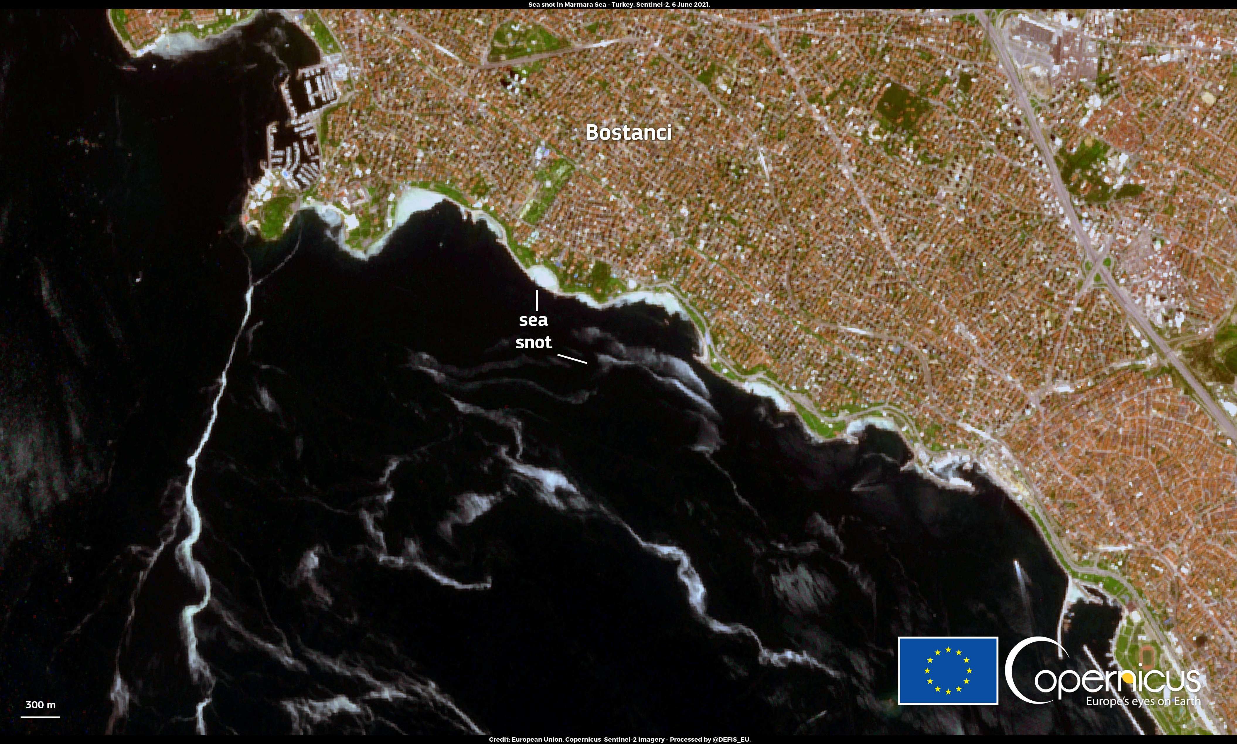
Marine mucilage can form visible patterns on the sea surface, but detecting it from satellite imagery requires more than looking for a particular color. Texture, lighting, coastlines, and other bright regions all affect the masks a model produces.
I worked in a four-person team during inzva AI Projects #9 on monitoring marine mucilage in the Marmara Sea. The wider project combined Sentinel-2 imagery and ERA5 climate variables for detection and forecasting.
My role
I owned experiments to fine-tune variants of Meta's Segment Anything Model for mucilage segmentation. I reviewed false-positive and missed-region masks, then iterated on image preprocessing and prompt selection before fine-tuning.
That work required close attention to the images themselves: where a predicted region followed the environmental signal, where it followed an unrelated visual cue, and how preprocessing changed the boundary a model could recognize.
Research context
The project was part of a four-month research program culminating in the September 2025 showcase. The public inzva report lists our team and describes its broader environmental-monitoring objective.
This case study focuses on my segmentation work. I do not have a published quantitative segmentation score to report here. The satellite image above provides context for the problem; it is not an output from our model.
What I took from it
Qualitative error review shaped the next experiment as much as the training setup did. Looking carefully at missed regions and false detections helped turn a broad fine-tuning task into more specific questions about prompts, preprocessing, and the visual cues the model used.